


Building a better hunt with onX Hunt
Sponsored
Advertisement
A hunting map is often treated as something to open when the truck leaves the pavement. By then, much of its best work could already be done.
The most useful maps are built over time. They begin months before the season, when a hunter compares unfamiliar areas and studies access. They gather detail through spring and summer scouting, then carry routes, observations and plans into the fall. After the season, they preserve what worked, and what did not, for the next hunt.
Advertisement
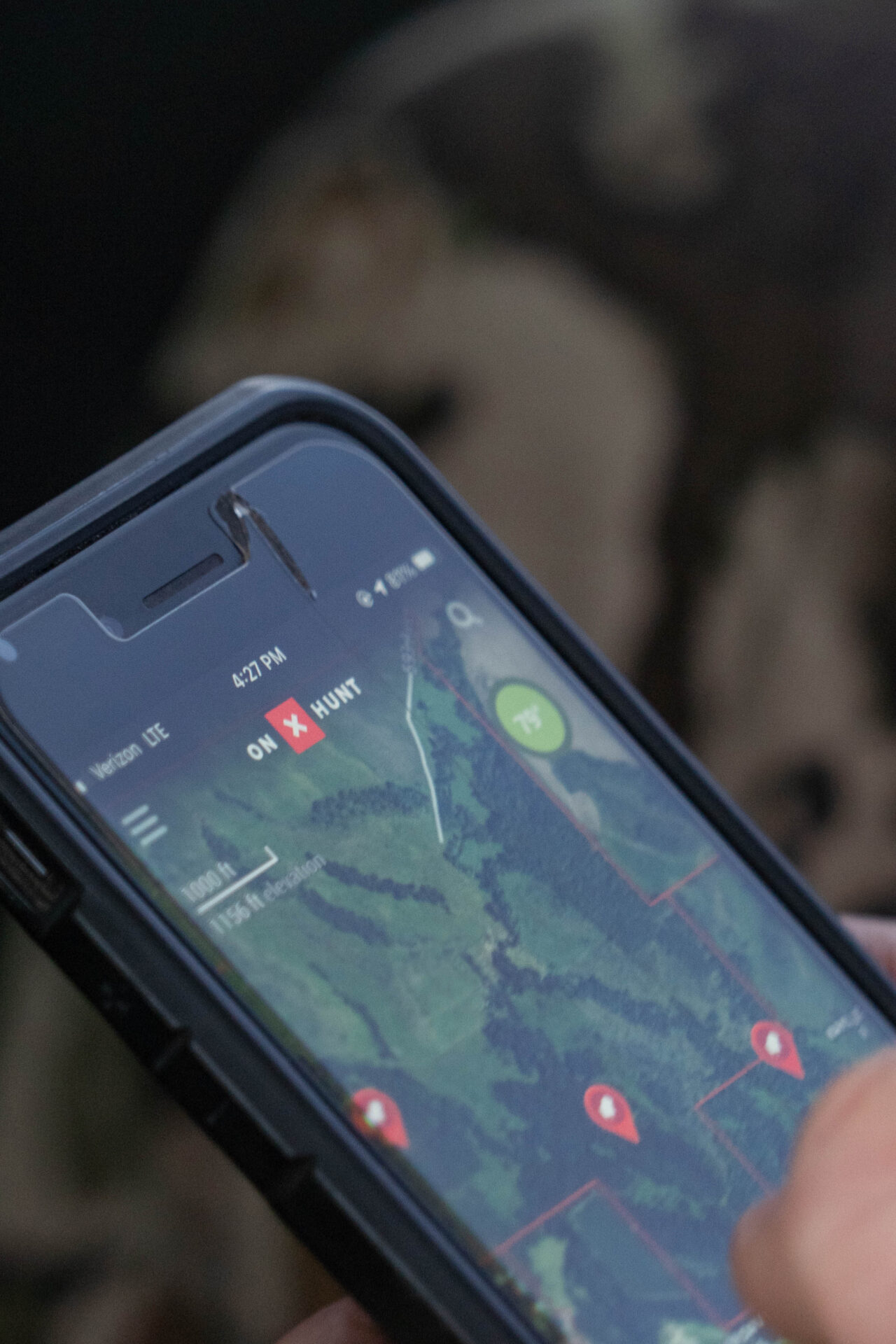
That is where onX Hunt can earn a place in a Canadian hunter’s routine. Available in Canada, the app combines satellite, topographic and hybrid maps with Canadian land and hunting layers, GPS tools, offline access, weather information and a hunter’s own notes. Rather than serving as a map for one day, it can become the working record behind the entire season.
Winter: Turn A Large Landscape Into A Shortlist
Advertisement
Planning often starts when snow still covers the country. On a desktop computer, a hunter can look beyond familiar ground and compare several possible areas without trying to study a province on a phone-sized screen.
Satellite imagery shows timber, fields, wetlands, cutblocks and roads. Topographic maps reveal ridges, drainages and elevation changes, while the hybrid basemap combines imagery with contour information. Three-dimensional tools such as TerrainX, 3D Exaggeration and Viewshed help make slopes, benches and sightlines easier to visualize.
The goal is not to choose a stand from the couch. It is to reduce hundreds of square kilometres to a manageable list of places worth visiting. Lines can measure the distance from a road to a ridge or water source. Area shapes can estimate the size of a cutblock, marsh or patch of cover. Possible access routes, glassing points and camps can be marked as questions to investigate later.
Canada-specific layers add context. Depending on the location, hunters can view Crown and other public lands, parcel lines where available, hunting unit boundaries, crop distribution, historic wildfire data and special layers such as Alberta and BC draw areas, outfitting areas and Saskatchewan furblock units. Together, those layers help a hunter decide where to spend limited scouting time.
Spring: Answer The Questions On The Ground
Once the roads and trails open, the map becomes a scouting notebook. A promising route marked during winter can be tested in person. Is the road passable? Is the creek crossing realistic? Does the cutline continue through the bush, or has it grown in? The answers can be saved where they matter – on the map itself.
Waypoints can mark gates, parking spots, trailheads, crossings, glassing locations, campsites, wallows, sheds and animal sign. Notes and photos attached to a waypoint preserve details that are easy to forget several months later. The Tracker tool records the route travelled, along with its distance and duration, providing a more useful measure of an approach than a straight line on a screen.
Each scouting trip improves the original plan. A route that looked easy can be discarded. A hidden trail or alternate access point can be saved. By the time hunting season approaches, the map contains both published data and the hunter’s own experience.
Summer: Build The Hunt, Not Just The Map
As plans become more definite, saved information can be organized into folders for a particular species, property or trip. A folder might contain the intended access route, two backup routes, trail camera locations, likely bedding cover, water, camp and the truck. Sharing that folder with hunting partners gives everyone the same reference before the group separates in the field.
This is also the time to prepare for unreliable service. Hunters can download the required areas to their phones at a chosen resolution. Offline Maps retain the saved basemap, layers and GPS position beyond the cellular network. Downloading early leaves time to confirm that the right country has been saved, update the app and decide whether the phone has enough storage and battery capacity for the trip.
No phone should be the only navigation plan in remote country. A paper map, compass, power bank or dedicated GPS may still belong in the pack. The advantage of onX Hunt is that the detailed map built through months of planning can travel into the field rather than remaining on a home computer.
Hunting Season: Make The Plan Adaptable
A season rarely unfolds exactly as imagined in winter. Winds shift. A road closes. Hunting pressure moves animals. Snow or rain changes the route. A working map makes it easier to adapt without starting over.
Wind on Waypoint lets a hunter compare forecast wind at saved stands or glassing locations. Broader weather information, including temperature, precipitation, barometric pressure and sunrise and sunset times, helps with daily decisions. If the preferred access is blocked, saved alternatives and distance measurements provide context for the next choice.
In the field, the blue location dot and compass help the hunter stay oriented. The Tracker function can record the route into a stand, the path back to camp or the course of a blood trail. New signs can be marked immediately instead of recalled later from memory. A waypoint or route can be shared with a partner to clarify a meeting point, vehicle location or recovery route.
These tools support judgement; they do not replace it. Hunters still need to verify regulations, closures and access through the responsible provincial or local authority, and conditions on the ground always take precedence over a line on a screen.
The Canadian Ownership Challenge
Land information is one area where Canadian hunters need realistic expectations. In the United States, onX built its reputation partly around extensive parcel and landowner records. Canadian ownership data is less consistently available and organized, and onX does not currently provide private landowner names in Canada. Parcel lines and public land boundaries are shown where data is available.
That means the app cannot always answer the final question of whom to contact for permission. It can still help identify the parcel in question, show its relationship to nearby public land and save the exact location while the hunter consults a county, municipality, land title source or local landowner maps. Once permission and access details are confirmed, they can be recorded in private notes for future reference.The distinction matters. onX Hunt is most useful as the place where available mapping and a hunter’s verified knowledge come together – not as a substitute for permission, official regulations or due diligence.
When the gear is put away, the map still has work to do. Tracks reveal the actual distance and time required for an approach or pack-out. Waypoints show where fresh signs appeared, where an animal was seen and which locations failed under a particular wind. Photos and notes preserve details that may otherwise disappear before the next season.
Because saved content syncs between the mobile app and desktop maps, the season can be reviewed on a larger screen. Unhelpful clutter can be removed, productive routes retained and unanswered questions marked for the next scouting trip. The following year’s plan begins with accumulated experience instead of another blank map.
That is the stronger reason for Canadian hunters to consider onX Hunt. Its value is not limited to finding a location on opening morning. Used through the full hunting year, it creates an organized, portable body of knowledge – one built from available Canadian mapping, careful research and what the hunter has learned with boots on the ground.