Advertisement
As more and more anglers are discovering, side-imaging sonar is flat out changing the way we fish. Thanks to this revolutionary technology, it’s now near impossible not to find fish-holding structure on the bottom of a pond, lake, river or reservoir. In the past, resourceful anglers would head out late at night and secretly place cover—Christmas trees, stake beds or even boulders—on the lake bottom. They’d then make a waypoint of the location on their GPS so that only they would be able to find it. Thanks to side-imaging sonar, however, say goodbye to such secrets hot spots.
Mark spots
Advertisement
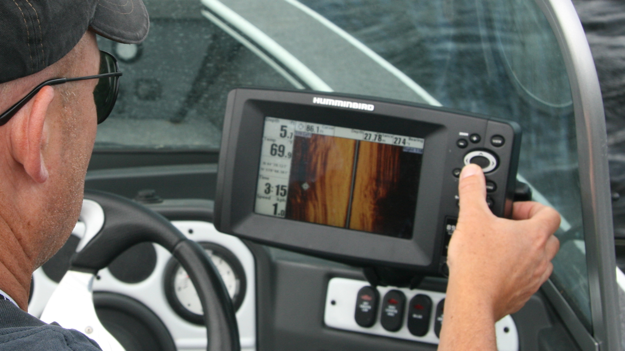
With side-imaging,you can scan the lake bottom up to 240 feet away on both sides of the boat to find hidden hot spots. You can search to the left, to the right, or off both sides of the boat simultaneously. The picture on the screen will be a crisp, real-time, video-like sonar image of the bottom. When you identify a promising hot spot such as an isolated rock, drop-off or sunken tree stump, you can move your cursor over the feature and create a waypoint.
Zoom in
For an even more thorough search for secret hot spots, adjust the side-imaging beam so you’re only scanning 70 to 80 feet off each side of the boat. This enlarges the image of the search area on your screen, making it easier to isolate fishy-looking structure and cover. You’ll have to criss-cross the bottom a few more times in order to cover the same area as you would with the beam set at 240 feet, but you’ll see considerably more detail.
Advertisement